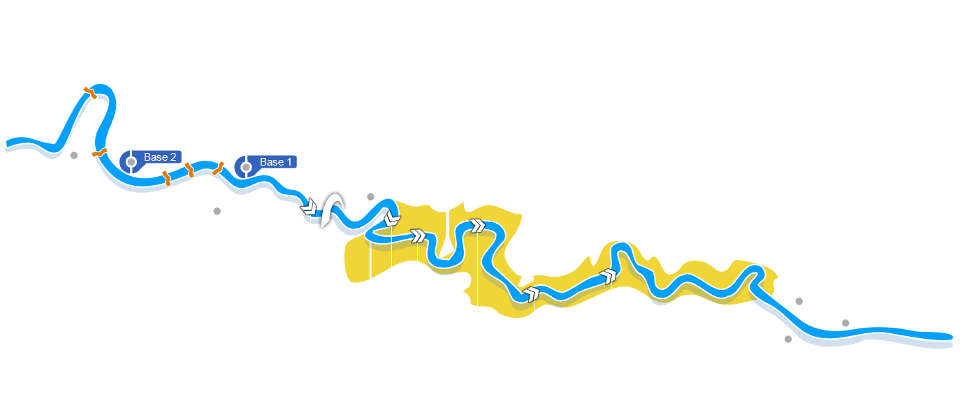
A map of the Ardèche river – The courses
On the Ardèche map below, you will find the different routes that we offer.
You’ll also find the locations of our two departure bases:
– Base No. 1 in Vallon Pont d’Arc, departure point for the 7km, 24km, and 31km descents in 1 or 2 days
– Base No. 2 in Les Mazes, departure point for the 5km, 12km, and 36km descents in 2 days
as well as the Gaud bivouac and the Gournier bivouac.
Also, the canoe slides, located on the section of the river between Les Mazes and Vallon Pont d’Arc, the Pont d’Arc, and the largest rapids are indicated on the map.
Before your departure, we will explain the chosen route, we will give you some tips for passing the slides and rapids, safety advice and we will also explain the arrival and return by bus.
Interactive map
Below is the map of the Ardèche, the starting points of the different descents and the location of our 2 bases


- L’Estivale 5 km
- Mini Descent 7 km
- Mini Descent with a certified guide 7 km
- Maxi des Minis 12 km
- Gorges de l’Ardèche 1 24 km
- Gorges de l’Ardèche 2 31 km
- Descent canoe in 2 days 31 kmBivouac
- L’Aventure in 2 days 36 kmBivouac
- Pack Eau Vive 1 7 + 24 km
- Pack Eau Vive 2 12 + 24 km

